
District Boundary Map
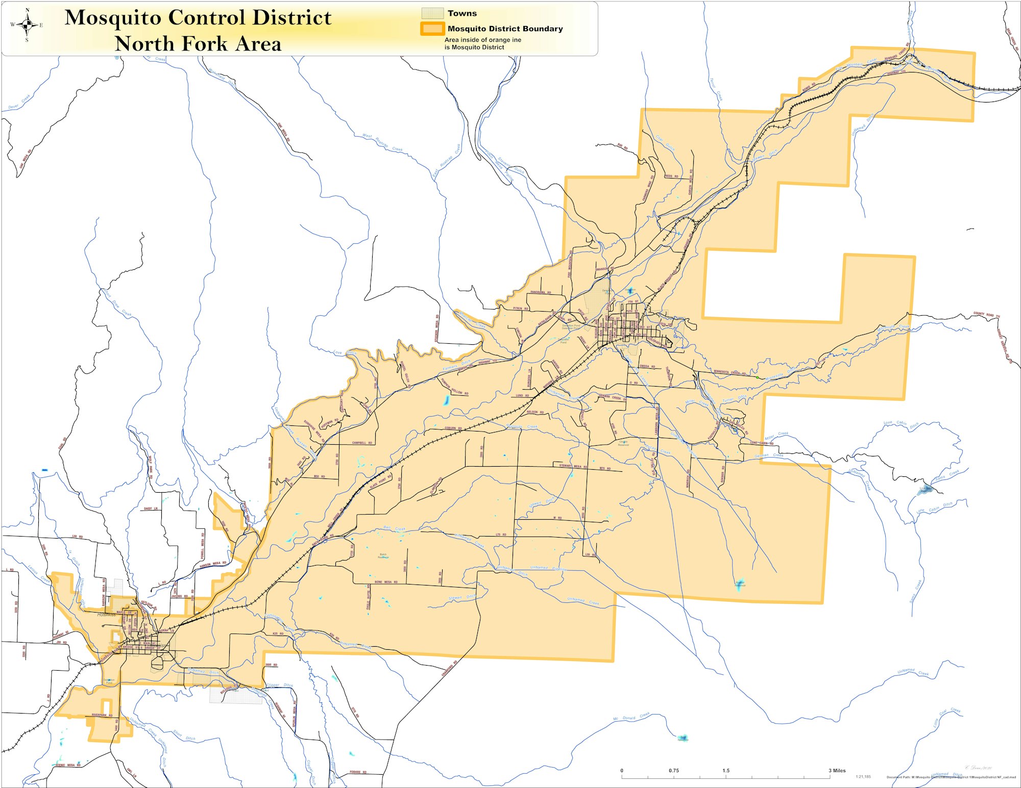
The District covers over 50 square miles, that is 32000 acres! Spanning the towns of Hotchkiss & Paonia. Unfortunetly there are so many more 100,000 of acres surrounding the District, that are not included, creating a huge uphill battle on the fight against the mosquito population.
The maps below show the first & and second approved property inclusion boundaries.
NFMAD Map #2 Inclusion.pdfNFMAD Map #3 Inclusion.pdf